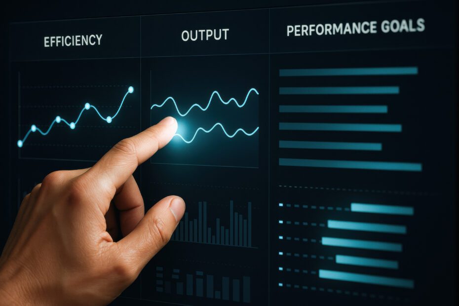
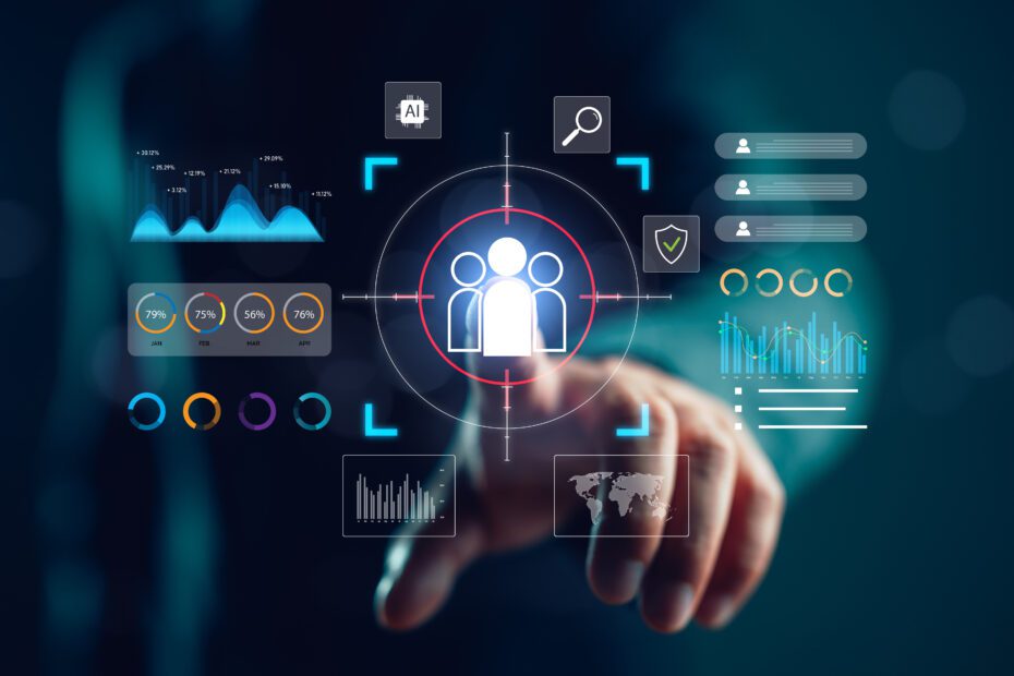
This article describes the approach undertaken by data scientists at Axibase to calculate the Cloud Cover using satellite imagery from the Japanese Himawari 8 satellite.
Today, cloud cover is measured using automated weather stations, specifically the ceilometer and the sky imager instruments. The ceilometer is an upward pointed laser that calculates the time required for the laser to reflect from the clouds, determining the height of the cloud base.…
ContinueAdded by Axibase Corp on October 20, 2015 at 6:21am — No Comments
© 2019 Data Science Central ®
Powered by
Badges | Report an Issue | Privacy Policy | Terms of Service
Most Popular Content on DSC
To not miss this type of content in the future, subscribe to our newsletter.
Other popular resources
Archives: 2008-2014 | 2015-2016 | 2017-2019 | Book 1 | Book 2 | More
Most popular articles